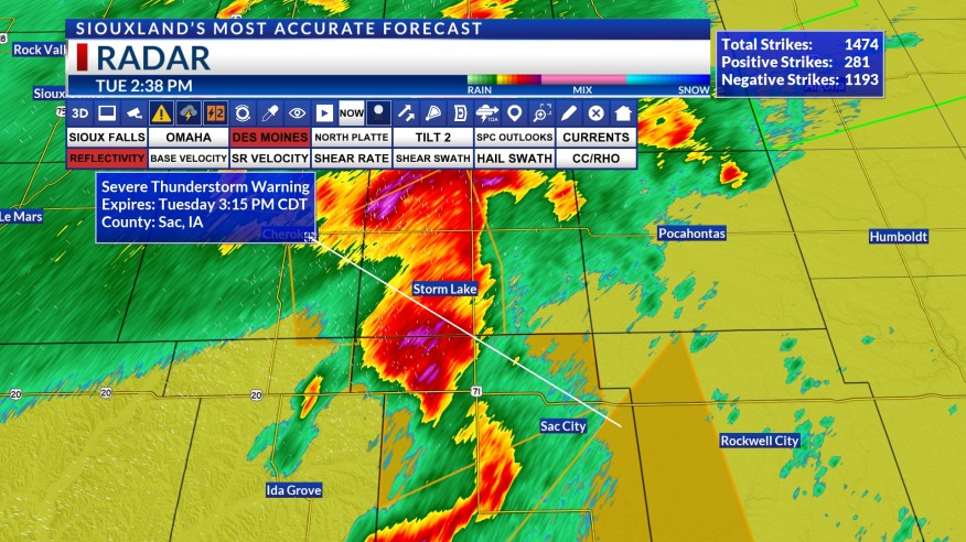
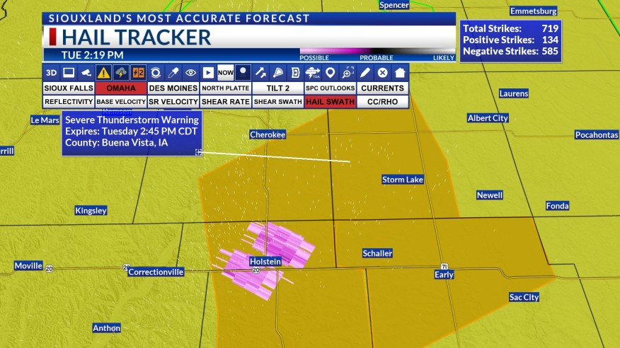
Severe Thunderstorm Warning in Siouxland !
Severe weather can strike unexpectedly. It’s crucial to stay informed and prepared. The National Weather Service in Sioux Falls, South Dakota, has issued a Severe Thunderstorm Warning for several counties in northwestern Iowa. Residents in these areas should take immediate precautions to ensure their safety.
Affected Counties
The warning covers the following counties:
- Northwestern Cherokee County
- Southeastern Sioux County
- Northeastern Plymouth County
- Western O’Brien County
Key Details
- Warning Duration: The Severe Thunderstorm Warning is in effect until 3:45 PM CDT.
- Current Storm Location: At 2:55 PM CDT, a severe thunderstorm was located over Sheldon, moving southwest at 30 mph.
Hazards
- Hail: Expect ping pong ball-sized hail.
- Wind Gusts: Anticipate wind gusts of up to 60 mph.
Impact
- People and animals outdoors are at risk of injury.
- Hail damage may occur to roofs, siding, windows, and vehicles.
- Wind damage could affect roofs, siding, and trees.
Areas Affected
The severe thunderstorm is expected to pass near the following locations:
- Sheldon, Hospers, and Archer: Around 3:00 PM CDT.
- Granville: Around 3:10 PM CDT.
- Orange City and Alton: Around 3:15 PM CDT.

Safety Measures
To protect yourself during this severe weather event:
- Seek Shelter: Move to an interior room on the lowest floor of your building.
- Stay Informed: Monitor local news and weather updates.
- Secure Outdoor Items: Bring in loose objects from outside to prevent damage.
- Avoid Windows: Stay away from windows to avoid injury from hail or debris.
Remember that severe thunderstorms can be unpredictable. Stay vigilant and follow safety guidelines. For real-time updates, tune in to local authorities and weather services.
Stay safe, Siouxland! 🌩️💨🌧️


Hi, this is a comment.
To get started with moderating, editing, and deleting comments, please visit the Comments screen in the dashboard.
Commenter avatars come from Gravatar.